

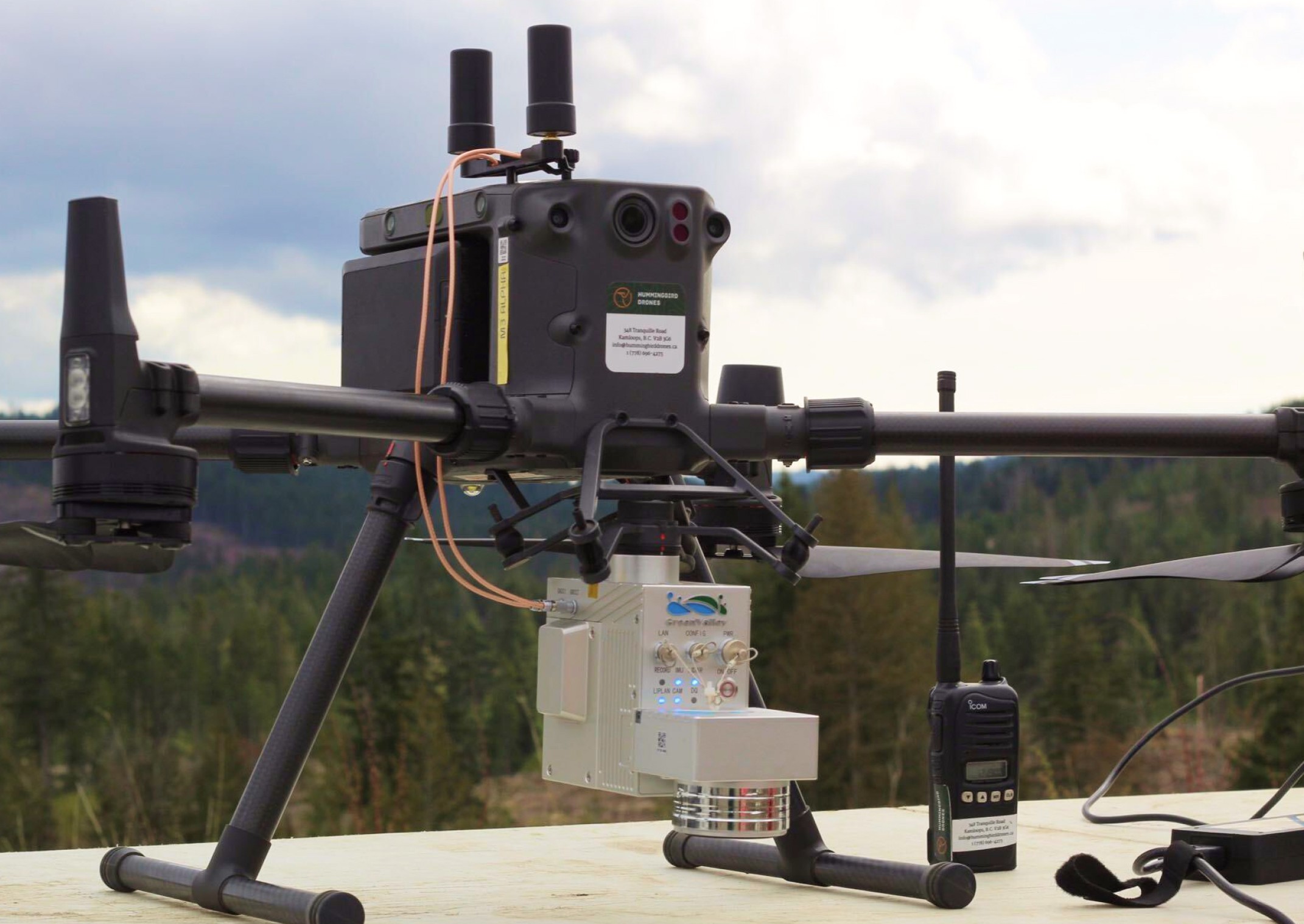
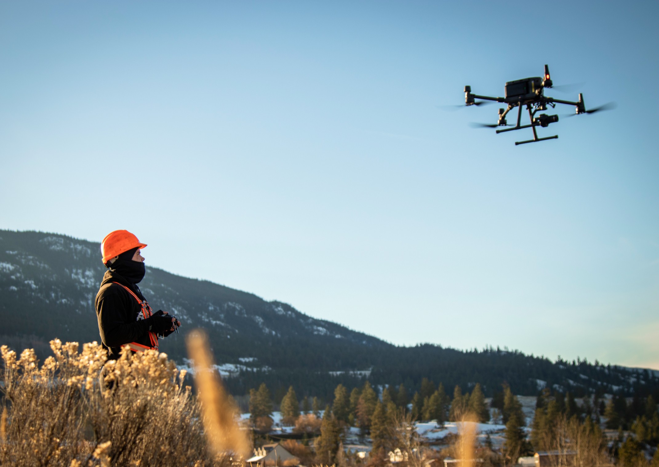
LiDAR
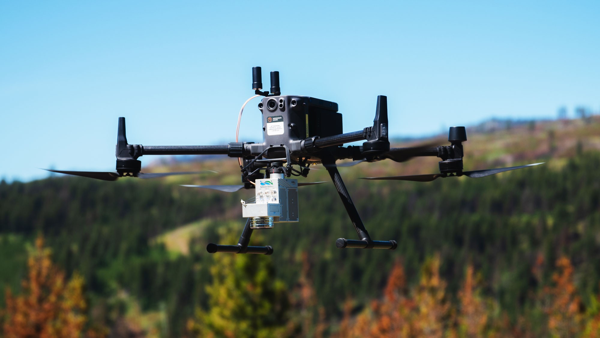
What we do
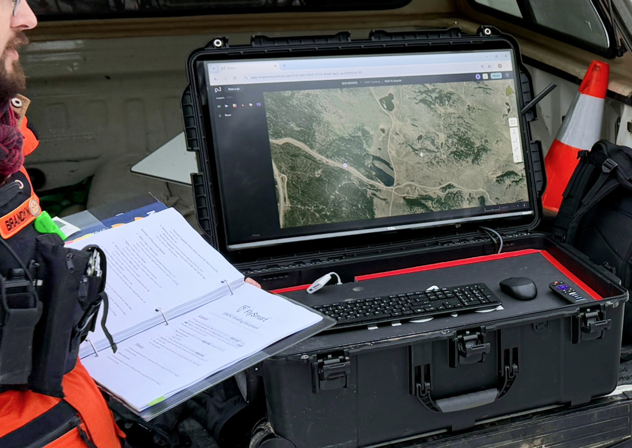
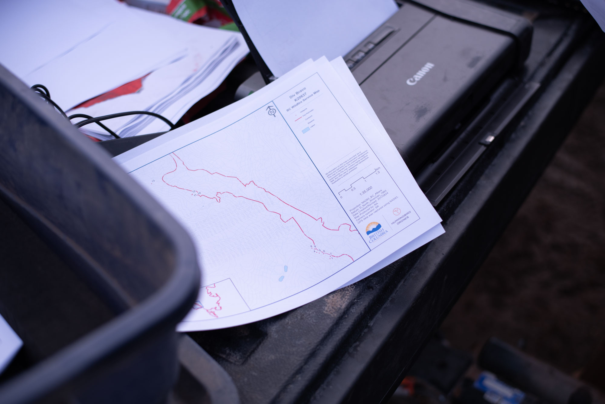
Our collection and data management pipeline is designed to capture, process and deliver quality data in as short a time as possible.
Our hardware and expertise are optimized for clients seeking high-quality data solutions on a budget.
How it works
Products
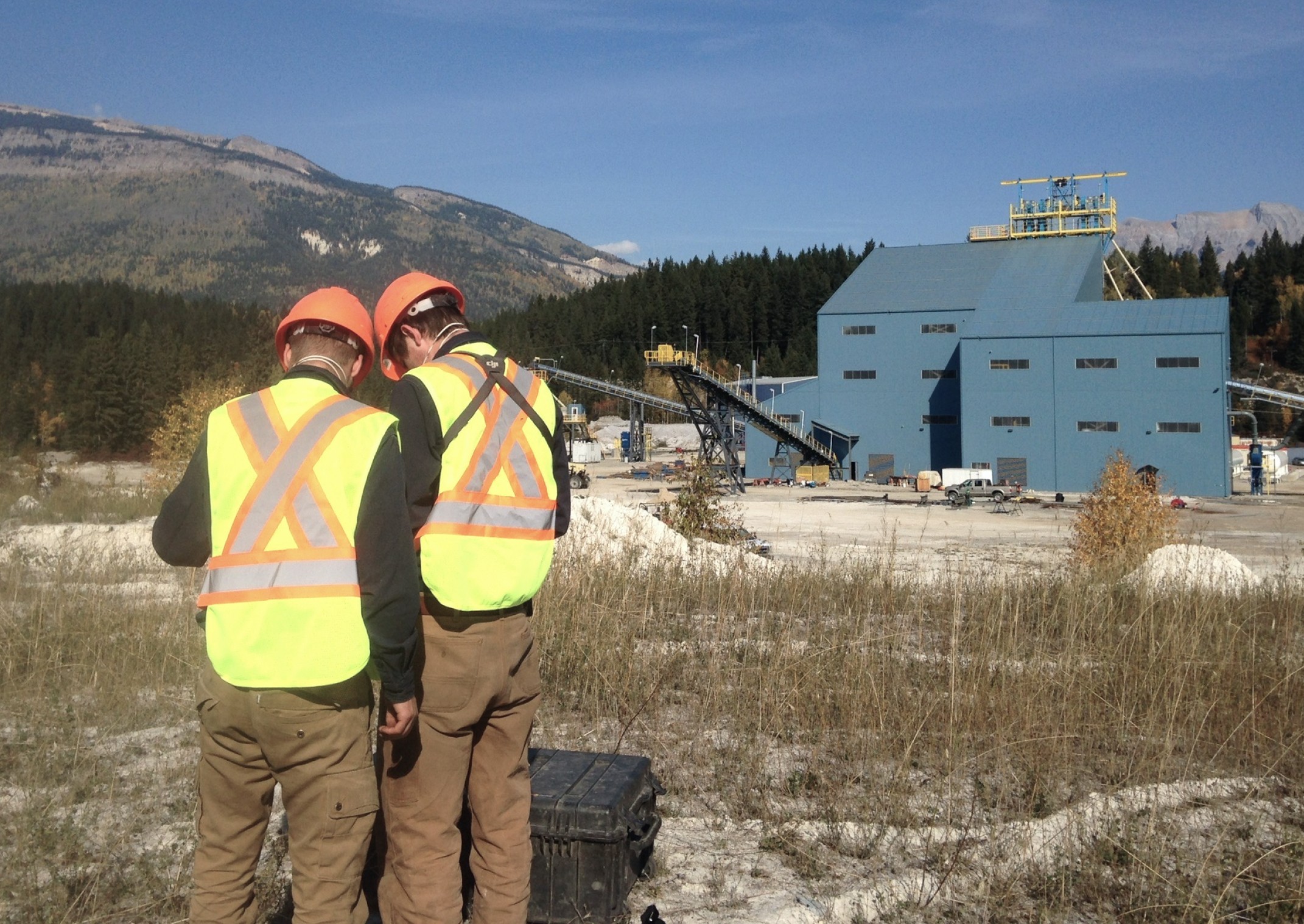
Our team will ask all the right questions before your project even starts to make sure that data collection, data processing, and product delivery are seamless.
Classified point clouds
Millions of points three dimensionally accurate to within centimetres. Each point classified into ground, trees, buildings, etc.
File types
.las
.xml
.dxf
.u3D
Digital Elevation Models (DEM)
A bare earth topographic surface of the Earth excluding trees, buildings, and any other surface objects.
File types
.tif
.xml
.dxf
.u3D
Digital Surface Models (DSM)
A model of earth that includes natural and artificial features of the environment like trees, buildings, and bridges.
File types
.tif
.xml
.dxf
Canopy Height Models
A canopy height model illustrates the difference between the DEM and DSM. Tree count and heights can be derived for precise harvesting.
File types
.las
.xml
.dxf
Displacement and Subsidence Tracking
Landslides, unstable slopes and subsiding terrain modelling.
File types
.las
.txt
.dxf
Orthomosaics
RGB data captured simultaneously with LiDAR for point cloud colourization and 2D orthomosaic generation.
File types
.las
.txt
.dxf
/ 01
What is the ideal project size for this technology?
/ 02
What kind of deliverables can I expect?
/ 03
How long does it take to process and deliver the data?
/ 04
Are you licensed and insured?
/ 05
What kinds of projects have you worked on before?