
Hotspot Detection
What we do
Industry leaders in infrared hotspot detection with a decade of experience.
Hotspot detection for wildfire and industrial projects remain a primary focus. With the most hectares scanned, the most fires flown and the most piles called out, peace of mind is only a phone call away.
How it works

_03
We ensure your teams have all the necessary information before they start their day. Using Starlink connectivity, our crews deliver georeferenced PDF maps, geospatial files, and additional deliverables on time, every time, so you’ll never experience delays in critical decision-making.
_04
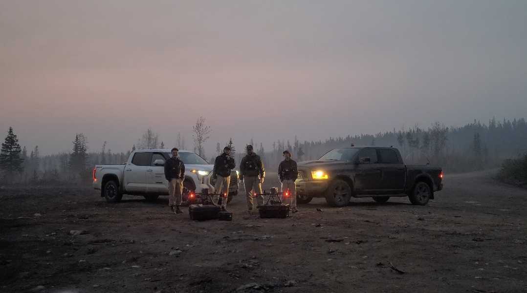
Our teams regularly scan multiple wildfires each night. With high mobility and the ability to stay deployed for weeks, we provide consistent, long-term support to keep your firefighting efforts informed and effective throughout the emergency.
Hectares Scanned
Hotspots Detected
Accuracy Level
Hectares Scanned Per Night
Perimeter Coverage Per Night
Hotspots Detected Per Night
/ 01
How accurate is drone-based infrared detection in identifying hotspots?
/ 02
How do drones handle extreme conditions, like high heat or smoke during wildfires?
/ 03
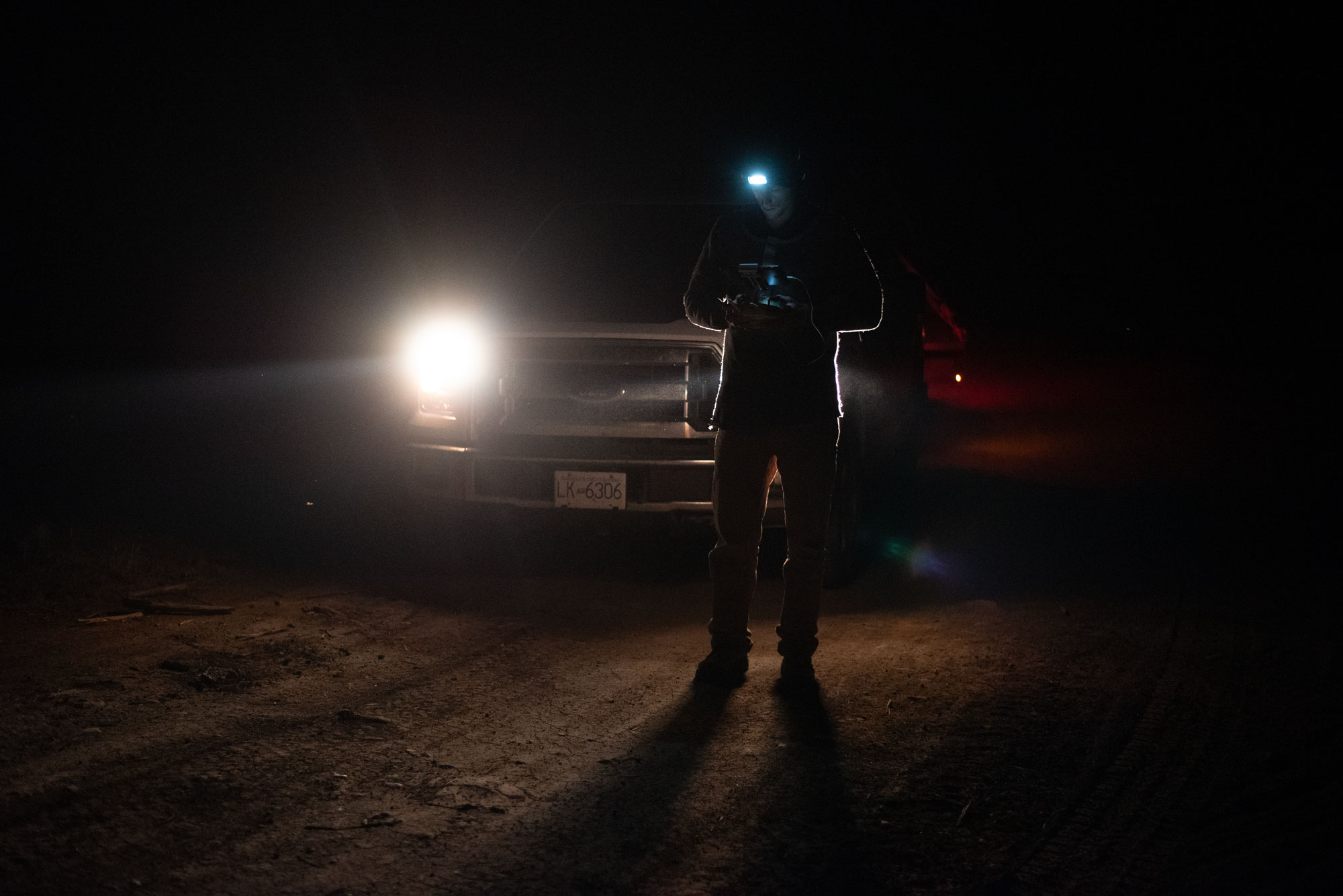
Can drones operate at night for wildfire detection?
/ 04
Are there any regulations or restrictions on using drones for wildfire monitoring?