
Disaster Assessment
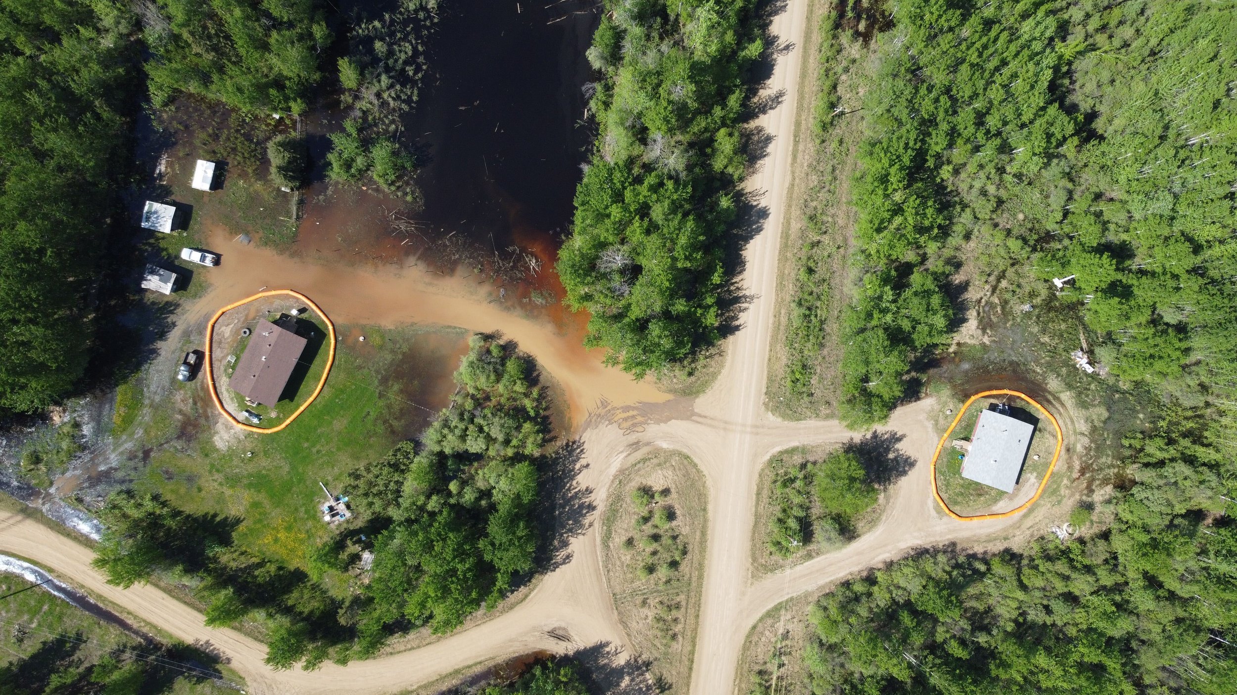
Up to date aerial data is vital in assessing disasters and providing incident command teams with the information they need to save lives and homes. Whether a truck rolls over and spills oil into a body of water, or a river breaches its banks during spring thaw, Hummingbird Drones™ is ready to assist in recovery and Reclamation. Fast turnaround times and reviewable data sets provide constructive assistance for post-disaster analysis.
Orthomosaics and real-time digital elevation models providing watershed analysis can be the difference in saving a town from a flash flood or not.
In 2017, while engaged in conducting flood mapping work with the Lower Nicola Indian Band, we managed to capture footage showing the incredible effort and work that goes into professional flood response.
Hummingbird Drones™ prides itself on its support of emergency responders, helping to save lives and communities.